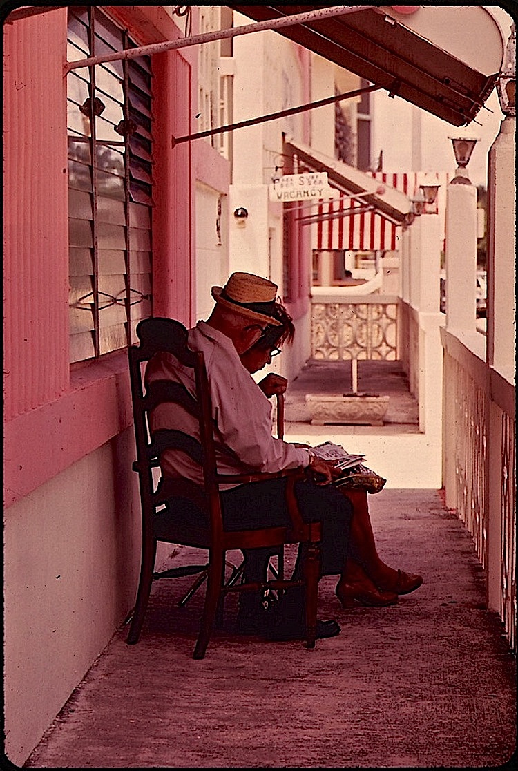
“Inexpensive retirement hotels are a hallmark of the South Beach area [of Miami Beach, Florida]. A favored place is the front porch, where residents sit and chat or watch the activities on the beach.”

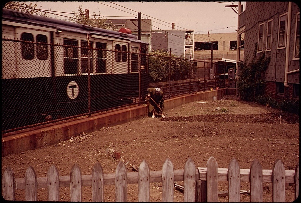
These c. 1975 pictures* (shown here with their original captions) were taken by Flip Schulke for DOCUMERICA — a photography program created in late 1971 by the brand new U.S. Environmental Protection Agency.
The EPA hired over 100 photographers to “document subjects of environmental concern.” The work continued until 1977 and left behind an archive of about 20,000 images.
In addition to recording damage to the nation’s landscapes, the project captured “the era’s trends, fashions, problems, and achievements,” according to the U.S. National Archives, which held an exhibit of the photos, “Searching for the Seventies,” in 2013.
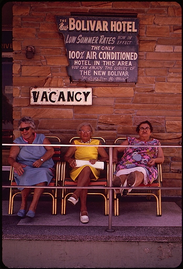
 “One of the many residential hotels for retired people living on small incomes. . . . The front porch is a favorite retreat.”
 “Income of the retirees in this area is not high, and most live in residential hotels such as the one pictured here.”
There are more pictures from DOCUMERICA here.
*Via the U.S. National Archives Commons on flickr.
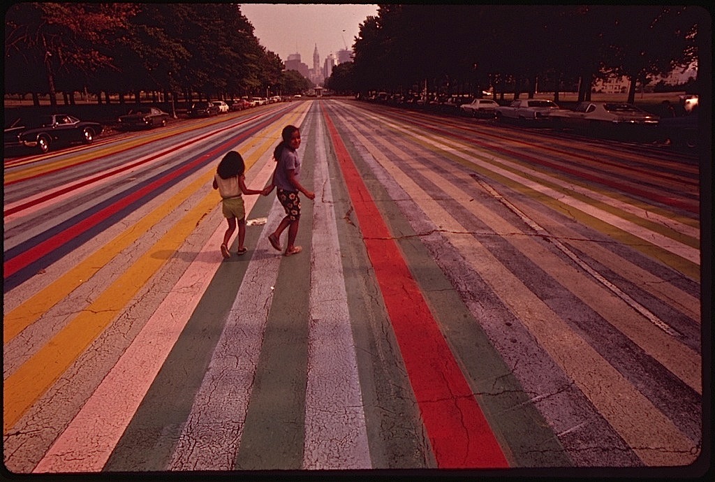 “Crossing the painted road which extends east from The Philadelphia Museum of Art, August 1973,” by Dick Swanson, via the U.S. National Archives Commons on flickr.