“Black youngsters performing on an empty lot at 5440 South Princeton Avenue on Chicago’s South Side at a small community program called “an Open Air Fashion and Talent Show” presented by “the New Between The Tracks Council.” It is one of many block clubs and community groups organized to help youngsters “do their thing” during special weekend programs in empty lots in the black communities.”
 These photos* were taken August 1973 by John H. White for DOCUMERICA, a 1970s photography project of the U.S. Environmental Protection Agency. They are shown here with their original caption.
A commenter on the flickr page noted: “Forty-one years later and it’s still an empty lot.”
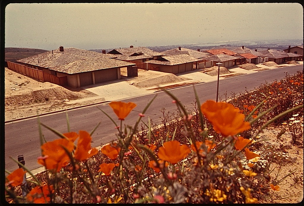
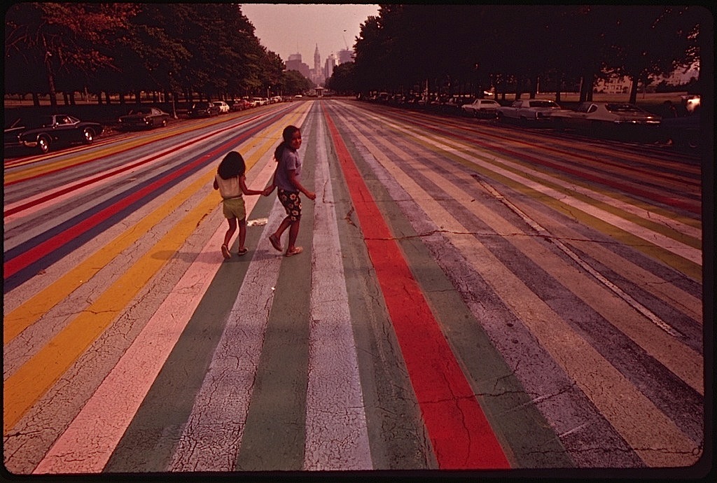
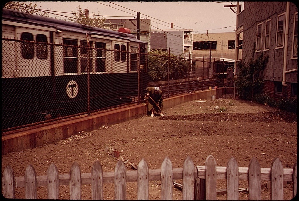
There are more pictures from DOCUMERICA here.
*Via the U.S. National Archives Commons on flickr.