New York City


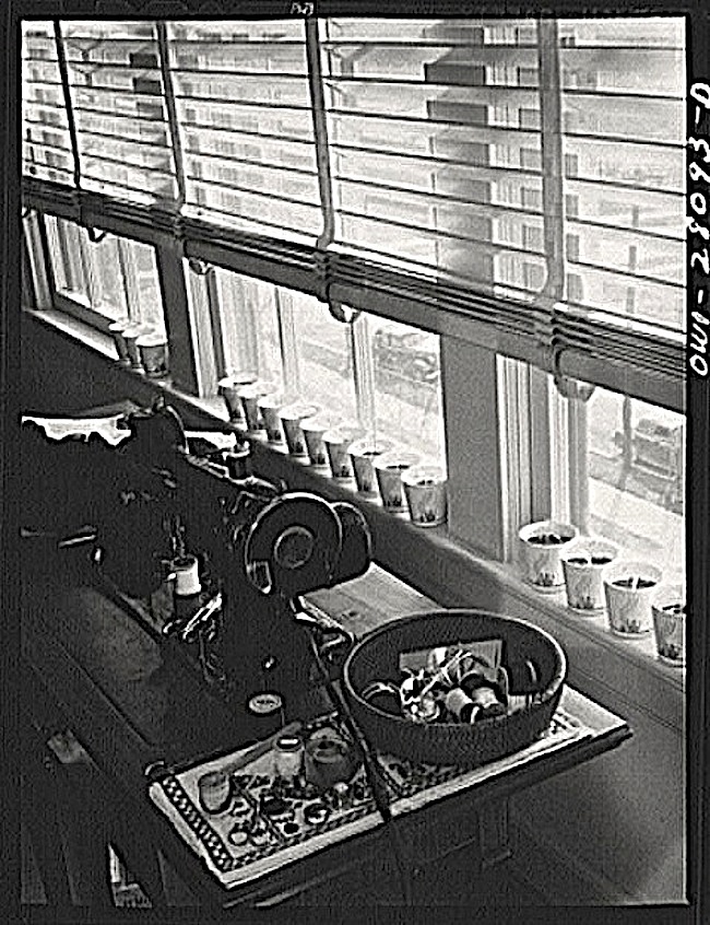
The finishing touch. . .

Schoolchildren’s victory gardens on 1st Avenue between 35th and 36th Streets, New York City, June 1944, by Edward Meyer for U.S. Office of War Information, via Library of Congress Prints and Photographs Division (all photos here).
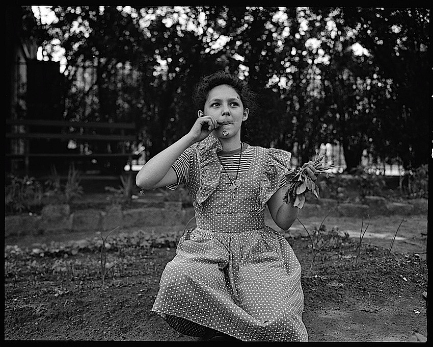

The first taste.

The location was St. Gabriel’s Park at the time of the photos. It is now called St. Vartan Park.

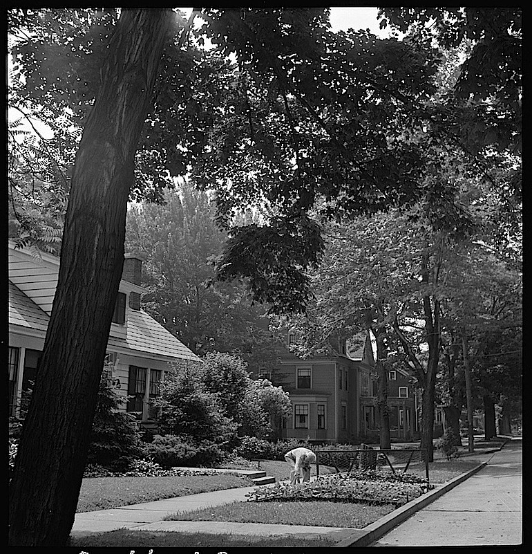
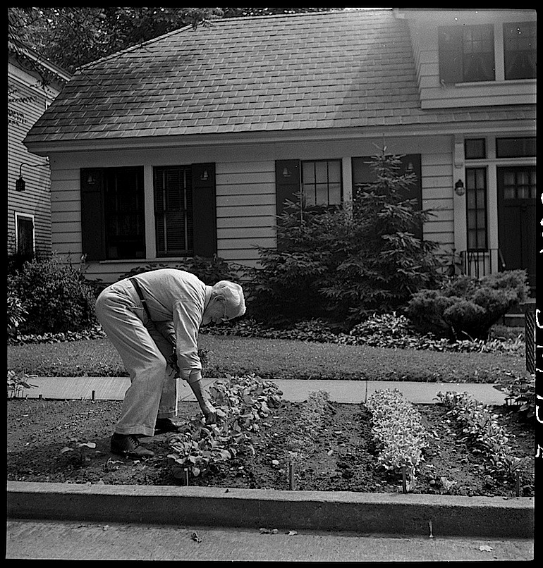
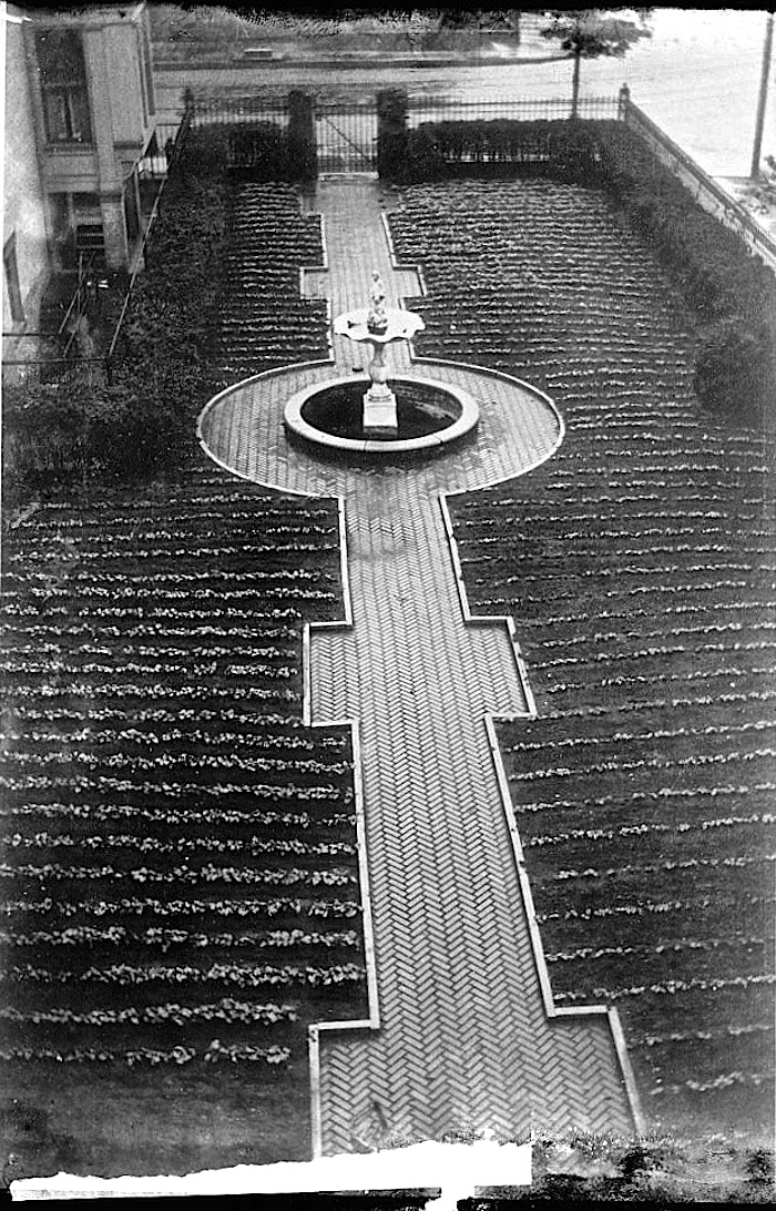
Please click on any of the thumbnails below to see a few more pictures of this garden.

Oswego, N.Y.

“A citizen working on Sunday morning in the victory garden he has made on the edge of the street,” Oswego, New York, June 1943, by Marjory Collinsvia Library of Congress Prints and Photographs Division (all photos here).

“Reports estimate that by 1944, between 18-20 million families with victory gardens were providing 40 percent of the vegetables in America,” according to Smithsonian Gardens.

Showing his wife vegetables as she starts on her way to church.

Vintage landscape: repurposed

Formal victory garden, ca. 1918, Library of Congress

World War I victory garden in a formal setting, location unknown,* ca. 1917 – ca. 1920, by Harris & Ewing, via Library of Congress Prints and Photographs Division.

The photo seems to have been taken for the National War Garden Commission, also known as the National Emergency Food Garden Commission.

The organization was created in early 1917 by Charles Lathrop Pack.  It sponsored a campaign of pamphlets, posters, and press releases aimed at “arous[ing] the patriots of America to the importance of putting all idle land to work, to teach them how to do it, and to educate them to conserve by canning and drying all food that they could not use while fresh.”

Like it or not, what you do with the land around your house tells the world what sort of citizen you are.

Abby Adams, The Gardener’s Gripe Book

*Harris & Ewing was located in Washington, D.C.

Vintage landscape: great deal

Victory garden poster, National Archives“Victory Garden Plots Free For Employees ca. 1942 – ca. 1943” poster, created by the Office of Emergency Management, War Production Boardvia U.S. National Archives Commons on flicker.

The location is Brierly’s Lane near the intersection with Duquesne Road (Bull Run Road).  I think this is in Munhall, Pennsylvania, a suburb of Pittsburgh.